Geo-monitoring: How drones contribute to maintain orchard meadows
09/22/2021 — Reading Time: 1 min
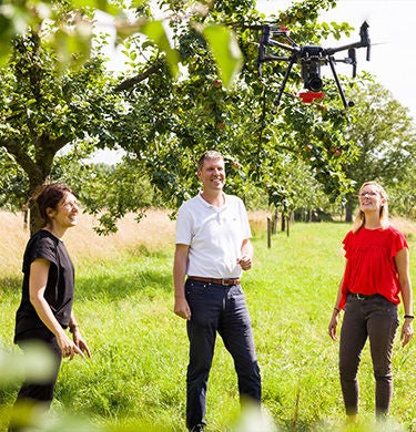
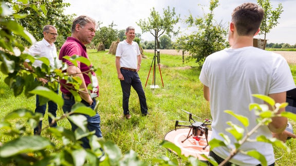
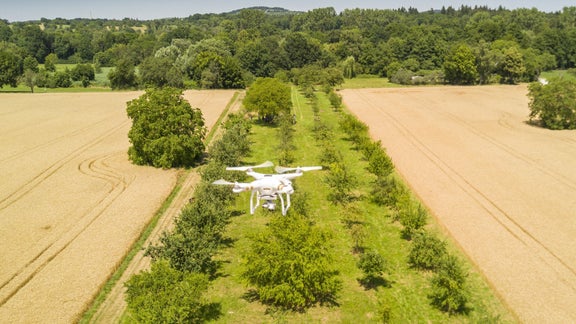
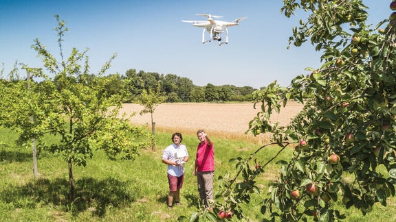
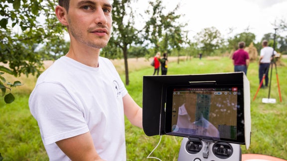
Since July 2018, individual drones have been flying at regular intervals over the mixed meadow orchards (Streuobstwiesen) of the municipality of Bad Schönborn. Their assignment is to act as landscape conservationists. The research drones equipped with sensor technology are controlled by geographers from the Heidelberg University of Education. They then evaluate the images scientifically using innovative geo-technology, in order to develop recommendations for the maintenance of the mixed meadow orchards. This ensures long-term diversity of the fruit population of the Baden-Württemberg municipality and protects the habitat of native animals.
A sophisticated combination of state-of-the-art technology benefits a rather classical environmental topic
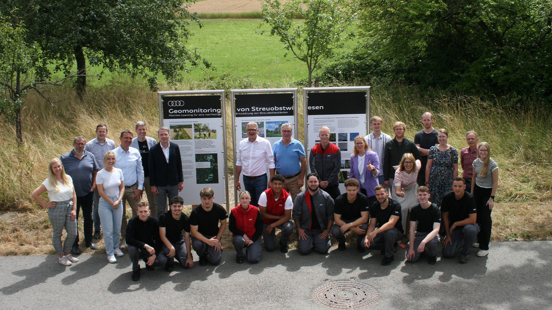
In July 2018, the Audi Environmental Foundation gave the starting signal for the innovative project together with project partners from the Geography Department of the Heidelberg University of Education, the Landschaftserhaltungsverband des Landkreises Karlsruhe (Landscape Conservation Society of the District of Karlsruhe), the Arbeitskreis Heimat, Natur und Umwelt Bad Schönborn (AHNU) (Bad Schönborn Heritage, Nature and Environmental Workgroup [AHNU]) and the municipality of Bad Schönborn. “The Bad Schönborn mixed orchard meadow project combines the application of modern technology with environmental considerations and the conservation of local biodiversity. It therefore brings together exactly those elements that are essential for the work of our foundation,” said Rüdiger Recknagel, Managing Director of the Foundation.
Biodiversity instead of monoculture
Traditional mixed meadow orchards (Streuobstwiese) consist of fruit trees of various species and varieties. More than 20 varieties of apple tree grow in Bad Schönborn, together with pear trees and stone-fruit trees. This biodiversity is good for nature and offers habitat for numerous native insects such as bees and limpets. Modern orchards, however, are often laid out as monocultures and are therefore easier to cultivate industrially.
Drones record the state of health of the trees
As the first step, the drones must therefore be able to identify which type of tree is involved. They then record the health and state of maintenance of the plants and enter this data in an interactive geographical database. The aim of this overview is to develop tailored measures for the protection and maintenance of the trees. Following the citizen science approach the project is open for the public via web app and is scheduled to run for three years.
